Social Explorer – a data visualization tool
 Social Explorer just relaunched their site with enhanced interactive maps and additional content such as U.S. historical census data back to 1790.
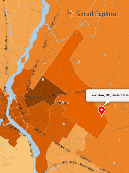
You’ll want to give it a try — Social Explorer data now includes:
- US Census from 1790 to 2010
- All annual updates from the American Community Survey (ACS)
- InfoGroup data on religious congregations for the United States
- Religious Congregations and Membership Study from 1980 to 2000
- Carbon Emissions data for 2002 from the Vulcan Project
- Updates to ACS and Census 2010 data including urban supplement and Census Zip Codes (ZCTAs)
- County-based Religion Data
New Functionality includes:
- Ability to save, share, and embed interactive maps and projects for blogs, Facebook, Twitter, and other social media.
- Ability to map all of the tracts in the US and chose what layer to map
- Ability to turn map layers on and off
- Improved street files
- A select by radius tool
- Geocoder works with fuzzy logic
- Variables can be displayed through shaded area, bubbles, or dot density maps
This tutorial will help get you started!