Computer Modeling
Computer mapping and modeling are an integral part of the Earth and Climate Sciences major. Geographic Information System and modeling software allows students to both map and predict changes in our environment through them from both year to year and millennia to millennia.
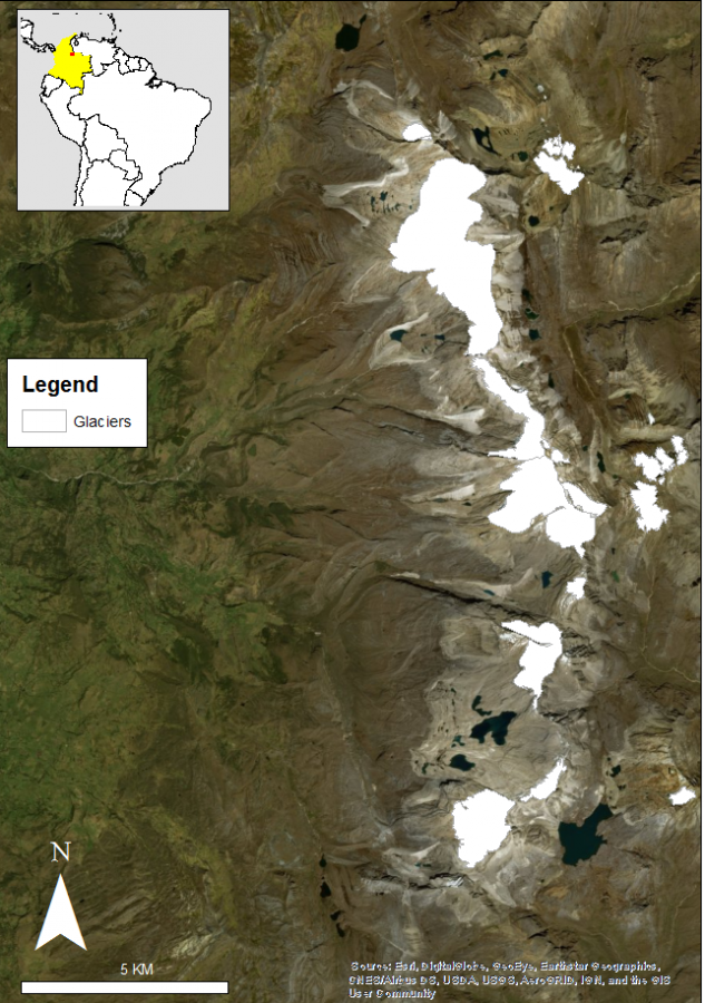
Digitizing modern day ice extent, Sierra Nevada del Cocuy, Colombia. Map by Alondra Guzman
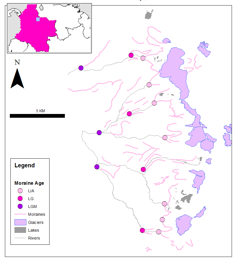
Digitizing modern day ice extent with moraine ridges, superficial terrain removed. Dots represent various past glacial boundaries. Sierra Nevada del Cocuy, Colombia. Map by Alondra Guzman
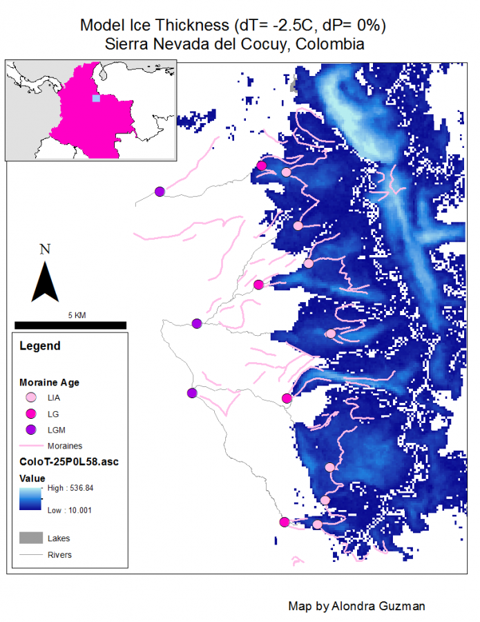
Modeling predicted ice thickness with 2.5 degree drop in average localized temperature, no change in precipitation. Dots represent various past glacial boundaries. Sierra Nevada del Cocuy, Colombia. Map by Alondra Guzman
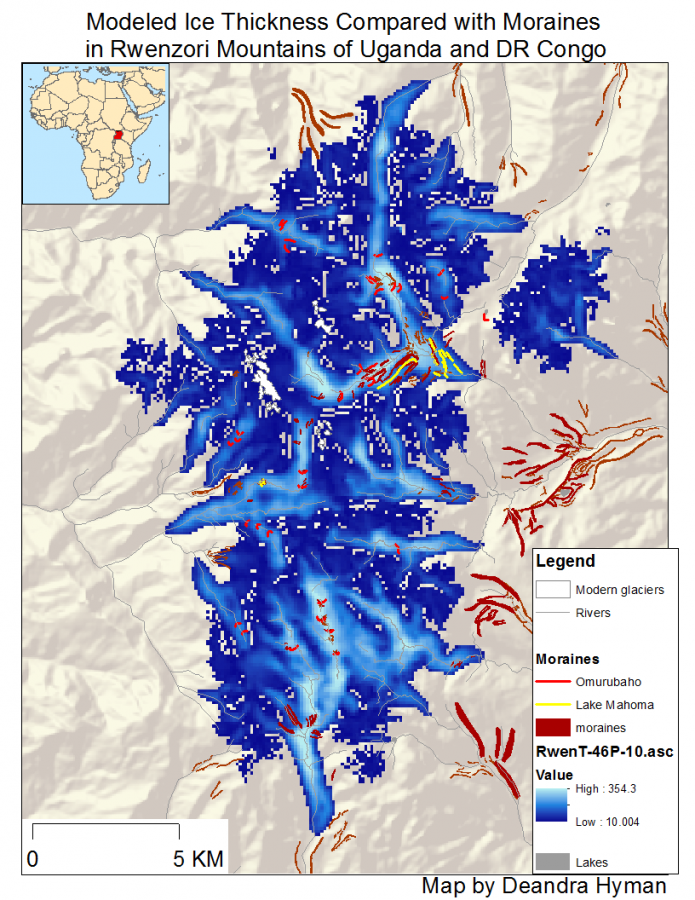
Model comparison of ice thickness and moraine areas in Rwenzori Mountains of the Ugandan and Democratic Republic of Congo regions. Map by Deandra Hyman