Drones
Drone or unmanned aircraft system (UAS) technology has improved dramatically over the past few years and even a consumer-grade drone equipped with a standard camera can be used as a powerful research tool.
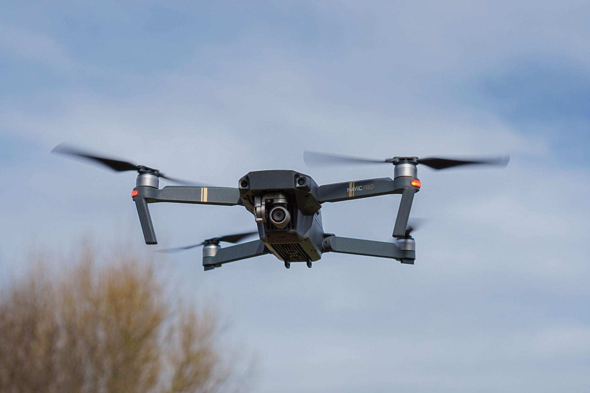
DJI Mavic Pro
Potential Applications
Aerial Mapping / GIS: Photographs take by a drone can be “stitched” together using software tools with photogrammetry engines like Pix4D, Autodesk ReCap, Agisoft Photoscan, or even Adobe Photoshop. The resulting geo-located maps can be of much higher resolution and more up-to-date than available satellite imagery. More sophisticated setups including LIDAR technology are also possible.
3D modeling: Similar to the process for aerial mapping, drone-collected images can also be used to build 3D models of natural and architectural features. These models can then be further processed to allow for 3D printing or other analysis, such as measuring length or volume. They can even be built into virtual and mixed reality applications.
Learn More
Currently, the Imaging and Computing Center | Digital Media Studios at Bates maintains a small fleet of drones (DJI Mavic Pro, RTK, & Phantom 2). Due to policy, legal, and liability issues, these drones are available to Bates faculty and students for research purposes only and can only be operated by licensed CRC staff. The DMX also carries a DJI Mini2 available for checkout.
Support staff
Branden Rush
207-753-6980
brush@bates.edu