Mapping the City: The Urban Landscape as Text
“Mapping the City: The Urban Landscape as Text” (BSAG 009) is one of the two thematic courses taught by Bates faculty in the Fall Semester Abroad program in Berlin. The course includes the completion of scavenger hunt routes (also called city rallies), in which students discover and study Berlin’s cityscape, culture, and history.
The course presents the city as a series of surfaces upon which various agents, communities, and organizations have left their trace in the form of the built environment. Berlin, because of its intricate history of construction from the 17th through the 20th century, massive destruction of the city center in WW2, planned demolitions and reconstructions in the West and East sectors of the divided city after 1945, and the rapid development in the last three decades, is particularly suitable for learning about official strategies of commemoration and the relationship between collective memory and architecture, personal recollections and official narratives.
What will we do?
The course consists of ten basic routes mapped by your instructor with the help of Geographic Information System (GIS), each devoted to a cultural theme, neighborhood, a historical event, an artistic style, a person, or a group of people playing an important role in German culture. You, the course participants, working in pairs, or groups of two or three (teams), travel on foot and by public transportation to find clues, complete challenges, take photos, make notes, and collect information at the clue locations. You find “passwords” by solving a number of tasks and construct your own path to the next site.
In each route, you use data stored on the ArcGIS online platform to contextualize your own sensual experience of the metropolis within a wide range of architectural, historical, and literary narratives. You have a mobile app (Collector for ArcGIS) to navigate through the city, gather, share, and upload your impressions, media, and assignments from the route. You add your own topographical field data to a ArcMap that can later be uploaded onto the online ArcGIS platform. Each route can be completed in 5-6 hours, including moving from place to place to complete challenges on sites.
With some exceptions, the routes intentionally avoid visits to museums and other institutions that suggest specific (official) narratives related to the themes and topics of the routes. Visits to museums are added to routes as the next steps in the process of contextualization of the collected material. After each route, follow-up meetings with all teams take place in the classroom (duration: 2-4 hours each). During the evaluation sessions, you compare your results, discuss your findings, ask questions, and complete additional tasks that serve to provide a summary of the route and to assess your learning experience. The evaluation sessions will also include readings, films, and other audiovisual materials that address the topics and the overall theme of the specific route.
To articulate your questions, complete assignments, provide written responses to texts and films, and draft your final project narratives, you will use an online notebook. In collaboration with your teammates and in consultation with other students in the course, you will then select one of the personal narratives you have created in Germany and expand it to include in the course final project (a collection of StoryMap stories).
What topics will we talk about?
Schinkel’s Berlin: From Provincial Capital to Metropolis
The route explores the influence of the architect Karl Friedrich Schinkel on Berlin’s urban core: the area around Unter den Linden and Museumsinsel. By tracking selected buildings in Berlin-Mitte, you travel in time, comparing Berlin, the capital city of the Duchy of Brandenburg, with the emerging cultural and political center of Imperial Prussia.
Around the Old and New Potsdamer Platz
The route focuses on one of the main transportation hubs and city life centers in pre-WW2 Berlin, the Potsdamer Platz, its destruction in WW2, and new constructions in the area in the 1990s and 2000s.

The New Building: Bauhaus in Berlin
The route focuses on the artistic trends and social movements in Germany emerging shortly before and in the aftermath of the First World War. You see the expansion of the city during the economic boom in Germany and compare the living conditions of the working class in Berlin in the 19th century with the ideas of progressive architects on how to improve the quality of life of workers in the metropolis in the first decades of the 20th century.
Villas and Villains: Wannsee and the Peripheries of Berlin
You take the S-Bahn line #1 to Wannsee, one of the most affluent Berlin suburbs and a popular summer destination, and you learn about the relationship between the center and periphery of the city, about its elites and the “undesired elements” of society.
Looking Back: Reframing the Colonial Past
The route deals with Berlin’s relationship with its colonial history: the modern city, as the historic administrative and economic center of Wilhelmine imperial politics, is burdened with the legacy of colonialism in urban space: the traces of the colonial past can still be found today in the 21st century. The route will approach this topic in a similar way as the Stadtmuseum Berlin’s project “Post-Colonial Memorial Sites in the City” (2020-24): by creating interconnections between sites in Germany’s capital, other German cities, and Germany’s former colonies.
Discovering the Jewish Past in Berlin-Mitte
This route focuses on the area that has been a center of Jewish cultural and religious life in Berlin before the Nazis came to power in 1933. You trace the remnants of the second-oldest Jewish cemetery in the city, two synagogues, and sites commemorating the deportation of Jewish residents from their homes, as well as the resistance to the anti-Semitic Nazi politics in the area.

Out of Sight, Out of Mind: Destroyed Structures from the Nazi Period
This route focuses on the question of what happened to the defense structures erected between 1933 and 1945 and buildings that have been destroyed in the Second World War or intentionally demolished by the Allied in the years after the war. The route aims to reconstruct Albert Speer’s plans to transform Berlin into the new capital city of the Third Reich, Germania.
The route also traces the ruins of buildings and vacant, desolate constructions in Berlin that have been intentionally left to mark the position of important buildings from the pre-WW2 period. By looking at examples of damaged buildings and empty-structures-turned-monuments, you investigate alternative strategies of commemorating past events and ways of shaping collective memory.
Divided Berlin: Tracing the Wall in the City / in the Minds
The route traces the course of the former GDR border fortifications encircling West Berlin, the former part of the city controlled by the U.S., Great Britain, and France. You learn about conditions of living in East and West Berlin, about the experience of crossing the border officially, and about escape attempts. You explore the role the Wall played in pop culture in Western societies, and you consider the cultural differences between the “Wessies” and the “Ossies” that the German society struggled to overcome after the fall of the Wall.

Socialist Realism and Real Socialism: Covering Up the Tracks?
The route concentrates on the former center of East Berlin, the area around Alexanderplatz and the Karl-Marx-Allee, as an example of large-scale Socialist Realist construction. Here, you will consider the connections between the GDR’s official ideological line and the design of living quarters, public spaces, and monuments.
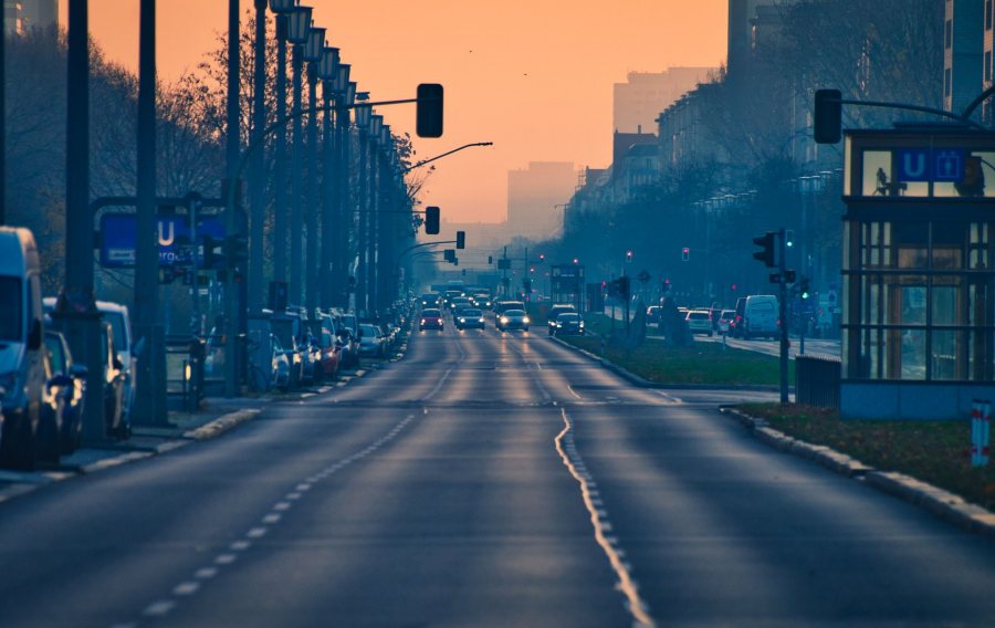
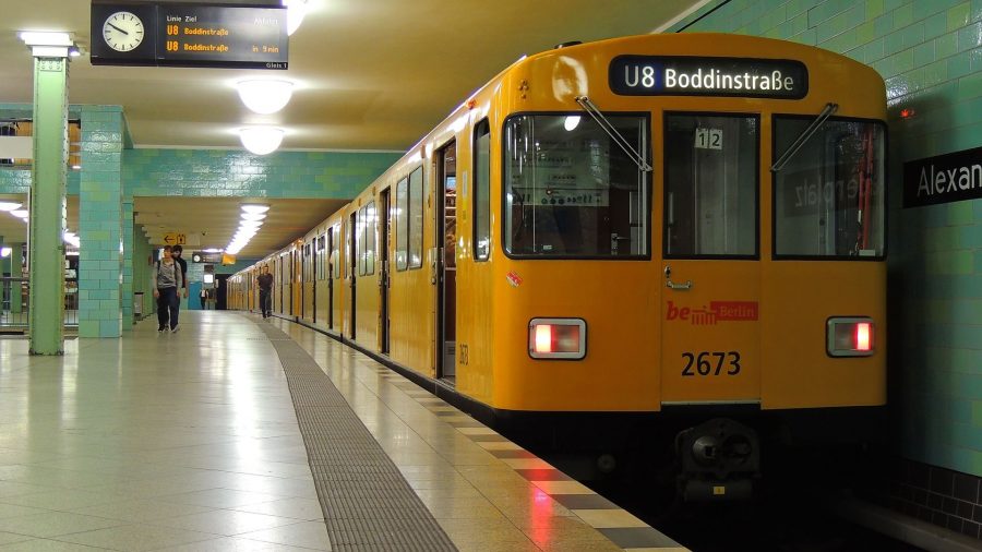
Berlin’s Circulatory System: S-Bahn and U-Bahn
The route provides more insights into the history and development of the public transportation system in Berlin. It traces the national and local agendas in their design, and it demonstrates the important role of specific stations, bus, S-Bahn, and U-Bahn lines in iconic narratives about Berlin.
What do you need for the course?
For completing the routes in Berlin (collecting notes, taking pictures, finding coordinates on site), you will need a smartphone with GPS capabilities and a camera (or an additional digital camera), with video recording option for your online notebook. For our fieldwork, we will use free ArcGIS apps for Android/iPhone. You won’t need a data plan for your city rallies; however, you will need to upload your data when you’re connected: at our host institution’s location (wifi network) or using your host family’s Internet connection.
To complete your final project (a StoryMap) online, you can work on your own laptop, or use the computer stations at our host institution. The instructor will have 2 or 3 smartphones as a spare/emergency devices in Berlin.
What will we read and watch in the course?
Texts discussed in the course include excerpts from a number of monographs and collections, including the following:
- MacLean, Rory. Berlin: Portrait of the City Through the Centuries. New York: St. Martin’s Press, 2014.
- Constantine, Helen, ed. Berlin Tales. Oxford: Oxford University Press, 2009.
- Haxthausen, Charles W. and Suhr Heidrun ed. Berlin: Culture and Metropolis. Minneapolis: University of Minnesota Press, 1990.
- Ingram, Susan, ed. World Film Locations: Berlin. Bristol: Intellect, 2012.
- Ladd, Brian. The Ghosts of Berlin. Chicago: University of Chicago Press, 1997.
- Schürer, Ernst et al., ed. The Berlin Wall. New York: Peter Lang, 1996.
Films about Berlin presented in the course (including film excerpts) will be selected from the following:
- Berlin: Symphony of a Metropolis (Berlin: Die Sinfonie der Großstadt), dir. Walter Ruttmann, 1927 (and its remake by Thomas Schadt, 2002).
- Adaptations of Alfred Döblin’s novel Berlin Alexanderplatz (1931, 1980).
- Christiane F. – We Children from Bahnhof Zoo (Christiane F. – Wir Kinder vom Bahnhof Zoo), dir. Uli Edel, 1981.
- Wings of Desire (Der Himmel über Berlin), dir. Wim Wenders, 1987.
- The Architects (Die Architekten), dir. Peter Kahane, 1990.
- Berlin Babylon, dir. Hubertus Siegert, 2001.
- Good Bye, Lenin!, dir Wolfgang Becker, 2003.
- Berlin Blues (Herr Lehmann), dir. Leander Haussmann, 2003.
- Rabbit à la Berlin, dir. Bartosz Konopka, 2009.
The instructor will prepare an online (on Lyceum) with all texts required.
Who is teaching the course?
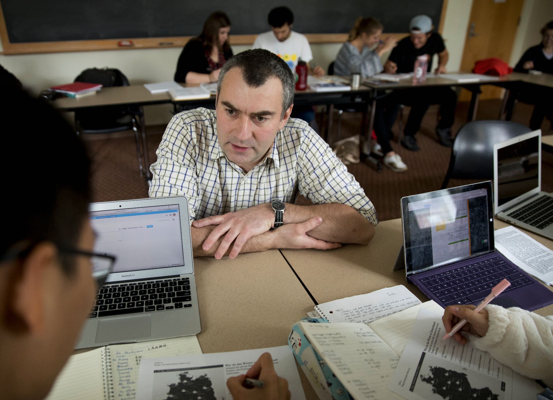
Jakub J. Kazecki
Pronouns:he/him/his
Associate Professor of German
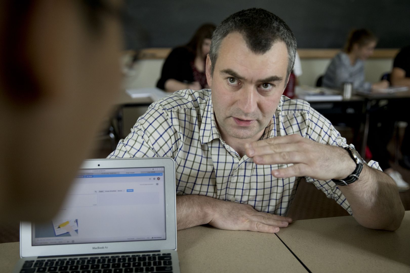
My research and teaching activities revolve around Berlin and I know the location very well. I have visited the city several times: most recently, I have spent 4 weeks in Berlin in June 2018 planning and collecting materials for this course. In 2015, I co-directed the Fall Semester Abroad program in Berlin (with Prof. Meredith Greer and Prof. Raluca Cernahoschi), and in the Short Term ’13, I co-taught the Off-Campus Study course in Berlin and Weimar (with Prof. Raluca Cernahoschi).